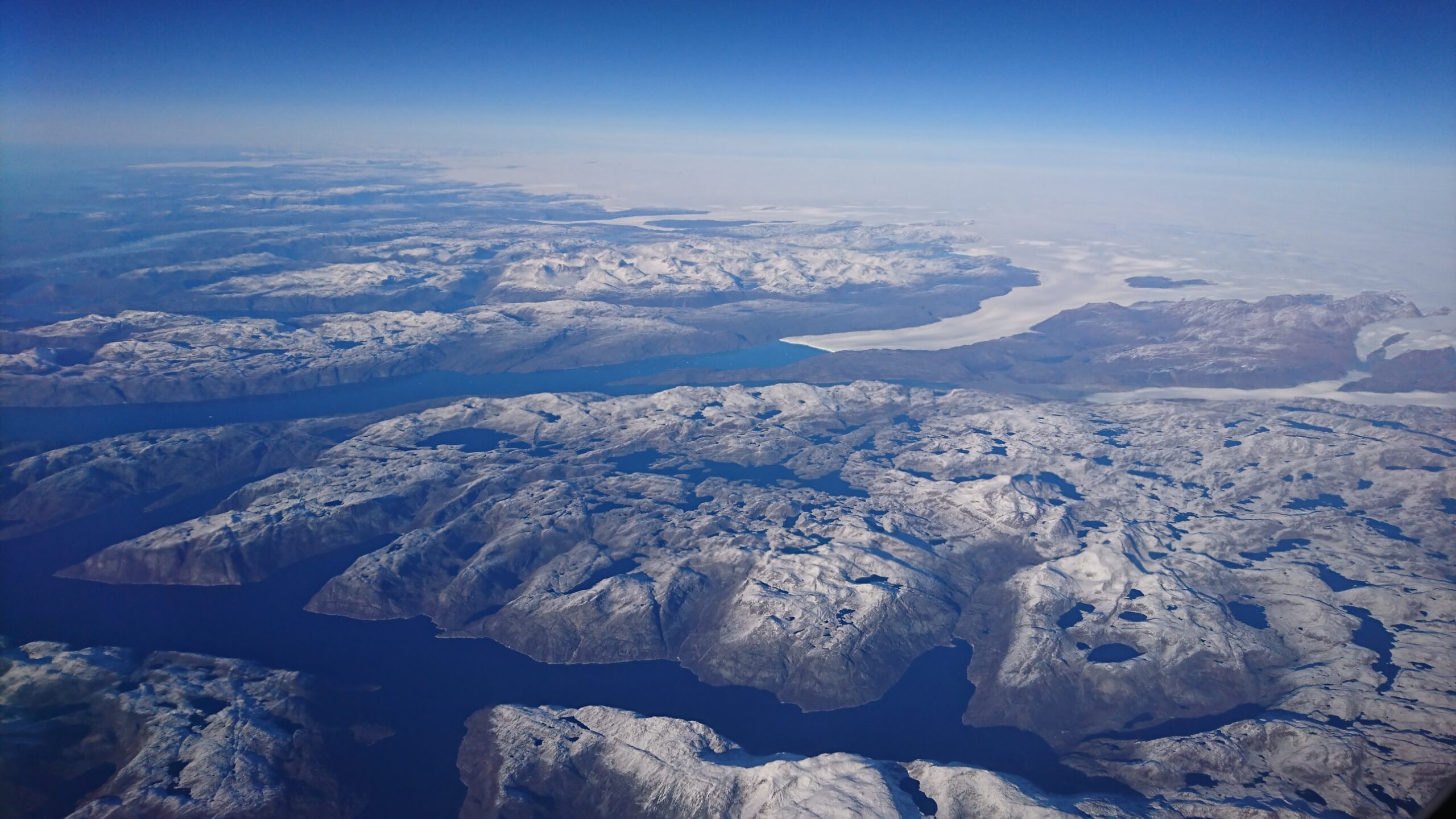

Nearly 170 billion tons of ice melt off the Greenland Ice Sheet every year, but scientists don’t fully understand the process by which this melting occurs. Researchers in the past suggested that liquid water forms at the glacier’s surface, where warm air and sunlight melt the ice. This meltwater travels down through cracks in the glacier and along the bedrock beneath it and flows out to sea.
However, some scientists view this model as too simple because it assumes water only flows downward and ignores how temperature affects water movement. They argue that an oversimplified melting model is unreliable for predicting how future ice sheets will behave.
One group of researchers tested this by investigating how water movement across Greenland is controlled by lakes beneath the ice sheet, called subglacial lakes. They monitored a newly discovered subglacial lake using high-resolution satellite images taken from 2012 to 2019 and 3D surface maps generated from the images. They focused on ice sheet changes from July 22 to August 1, 2014, during a suspected subglacial lake drainage event. A drainage event is like a water balloon that’s too full, bursting from excess pressure.
They examined images of the Greenland ice sheet taken from Landsat-8, 3D surface maps from the Polar Geospatial Center, and data from ICESat and ICESat-2 taken in the summer of 2014. Based on these data, the researchers identified a 2-square-kilometer (0.8-square-mile) region of ice rising 10 to 15 meters (about 30 to 50 feet), forming a dome on the ice sheet’s surface. They suggested that this dome formed when a large, meltwater-fed lake developed on the bedrock beneath the ice sheet, pushing the ice upward.
They also saw that on July 22, 2014, the dome began to collapse. Over the next 10 days, it dropped by 85 meters (about 280 feet), forming a basin. Using the dome’s dimensions, the researchers estimated that 90 million cubic meters, or about 3 billion cubic feet, of water drained from the lake at an average rate of 100 cubic meters, or about 3500 cubic feet, per second over the 10 days. This is roughly equivalent to 36,000 Olympic swimming pools draining at a rate of 1 pool every 25 seconds!
The researchers also found that during the collapse, 40-meter-high (130-foot) ice blocks were uprooted about 1 kilometer (0.6 mile) downstream from the basin, followed by 6 square kilometers (about 2 square miles) of smooth ice. The researchers hypothesized that these features formed when water burst through the ice, flowed along its surface, and then reentered the ice sheet.
Next, they used data from Landsat 5, Landsat 9, the National Snow and Ice Data Center, and the U.S. Geological Survey to demonstrate that the drainage event also affected the surrounding environment. When the water reentered the ice sheet, it flowed beneath the Harding Glacier downstream. This influx of fast-moving water reduced pressure at the glacier’s base, slowing its movement. Simultaneously, the increased drainage beneath the Harding Glacier caused 500 to 600 meters (about 1,600 to 2,000 feet) of ice to break off its end.
In response to these changes, the researchers hypothesized that subglacial waters rose to the surface rather than sinking to the bedrock because the ice sheet was frozen to it. To test this, they simulated temperatures at the base of the ice sheet using computer-generated thermal models. They input a range of likely bedrock temperatures and ice thicknesses to simulate possible conditions under the ice sheet. They found that all the simulations predicted the glacier’s base would remain below -5°C (23°F). At such low temperatures, the ice would be frozen to the bedrock before subglacial water could drain out. Since water couldn’t flow under the glacier, it was forced to travel upward.
The researchers used these findings to develop a new conceptual model of how glacial meltwater moves. First, surface ice melts and flows into a subglacial lake. As meltwater accumulates, pressure builds at the base of the ice sheet, forming a dome on the surface. A drainage event causes the dome to collapse. As water moves downward through the glacier, it is blocked from reaching the base because the ice is frozen to the bedrock. The water then moves upward, bursts through the surface, travels across it, and eventually reenters the glacier before draining to the ocean.
The team concluded that water movement above, through, and below glaciers is interconnected. Destructive upward flow of meltwater, followed by downward flow beneath glaciers, can weaken ice sheet structure and alter downstream glacier dynamics. Their work highlights the need for more scientists to consider the processes driving glacial ice loss.
